About our Company
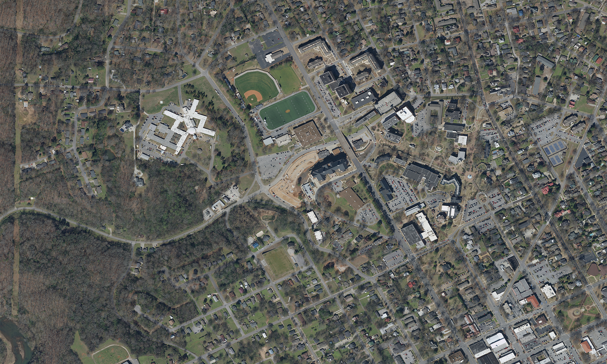
G-Squared is a photogrammetric engineering firm staffed and tooled for massive and efficient aerial survey production. In short, we make maps. For over 20 years we have provided design scale map products that meet all state and federal guidelines for geospatial accuracy. We are a quality over quantity company, so our short list of services is by design. We do a few things and focus on doing them right. All our products are made in America at our facility in Fayetteville, TN to ensure that level of quality.
Our Services
- Orthophotography
- Planimetrics
- LiDAR
- Tax Mapping
- Change Detection
- Contours
- GIS Services
Our Clients
- Engineering Firms
- County & City Government
- Municipalities
- Utilities
- Airports
- Departments of Transportation
- Emergency Management Agencies
Affiliate Organizations
Staying connected and keeping an eye on changes in our industry is something we take seriously. Below are a few organizations that help us achieve that goal.